1. What is the average height of the Tibetan plateau?
10,000 feet [3,048 meters]
14,500 feet [4,420 meters]
12,500 feet [3,810 meters]
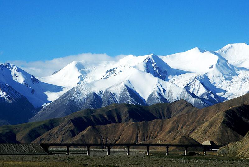
The high altitude of Tibet makes breathing difficult. Winters are harsh and summers cool and short.
Qinghai-Tibet railway near mountains at Golmud, Qinghai
2. Which is China's third largest province by area?
Heilongjiang
Sichuan
Inner Mongolia
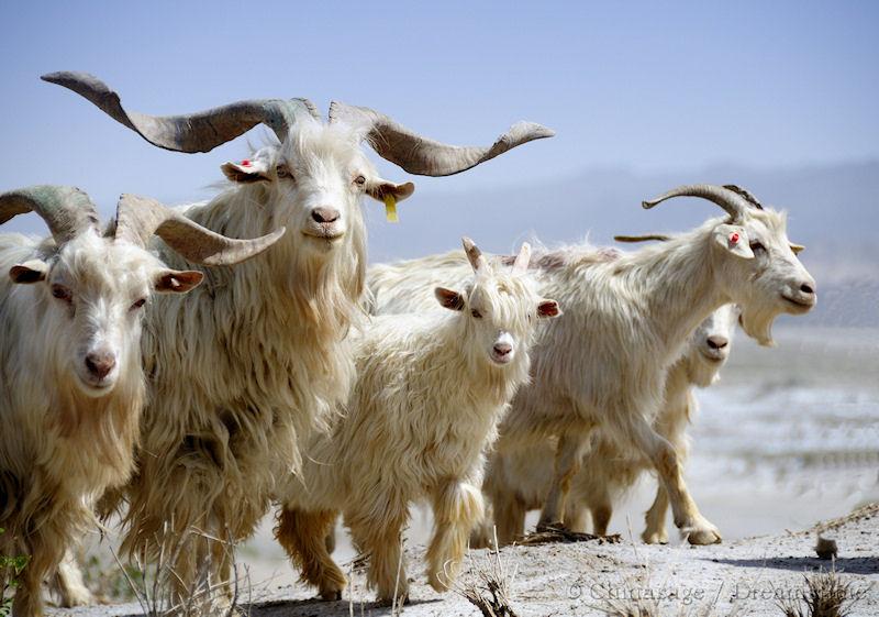
Inner Mongolia is surprisingly large, it marks an important buffer zone beyond the Great Wall and is partly covered by the Gobi desert.
A flock of goats in the desert near the Tarim basin, Xinjiang
3. Excluding Macau which province has the lowest population in China?
Tibet (Xizang)
Anhui
Tianjin
Although the second largest in area Tibet has a low population - and so has the lowest population density of any province.
4. Which province was the most recently created?
Tibet
Xinjiang
Chongqing
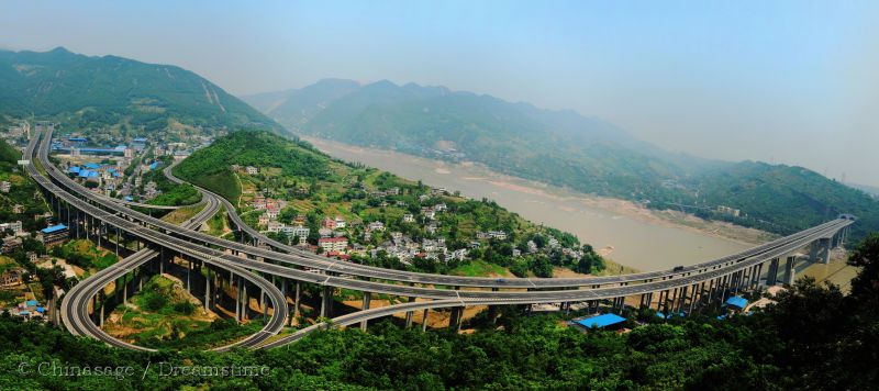
The province of Sichuan was split into two parts in 1997, which had by far the largest population. The eastern section of Chongqing is governed by the city of Chongqing and follows the Yangzi river valley.
Chongqing inner ring expressway around the main city
5. The Yu (or Yuyuan) gardens are a famous spot in which city?
Suzhou
Hangzhou
Shanghai
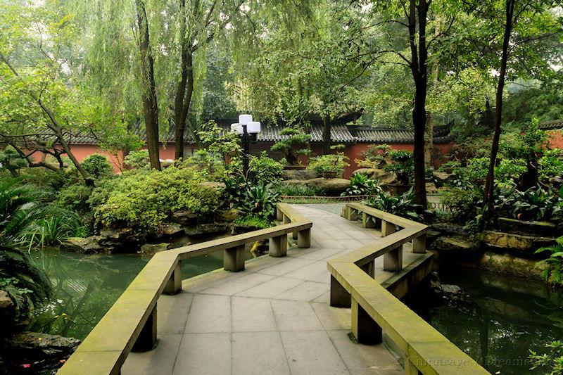
Shanghai's Old Chinese City has the narrow alleys, temples and markets typical of an old Chinese town. It has the famous traditional ‘Yu Gardens’ which were originally built in 1537.
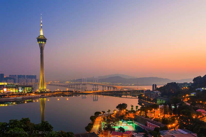
6. Which country administered the island of Macau until 1999?
France
Portugal
Germany
Macau was governed by Portugal for nearly 450 years. Macau stands on a rocky peninsular on the mouth of the Zhu (Pearl) River estuary connected by bridges to Taipa and Coloane Islands .
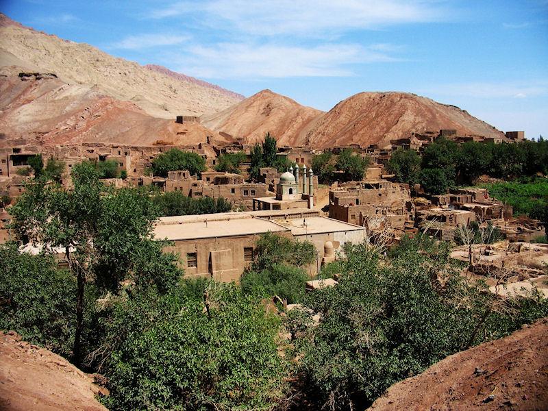
7. Xinjiang is home to many ethnic groups; which one is acknowledged in its official name?
Kyrgyz
Uyghur
Tajik
The Uyghur (Uigur) people represent about 43% on the population of Xinjiang, closely followed by Han Chinese at 41%.
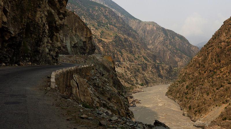
8. The Hunza Valley is a historic land route into China, which country does it lead to?
Afghanistan
Pakistan
Myanmar
Hunza is in the disputed area of Kashmir but is usually considered part of Pakistan. The Karakoram Highway passes through the valley at the Kunjerab Pass.
9. Sanjiangyuan Three Rivers National Park is the source of which major rivers?
Indus; Ganges and Yangzi
Mekong; Yellow and Yangzi
Pearl; Yellow and Yangzi
Sanjiangyuan is a large area in south-eastern Qinghai province with the Mekong eventually heading south, the Yangzi east and the Huang he (Yellow) river north.
10. The Changbai mountains are on the border of China with which other country?
Pakistan
Russia
North Korea
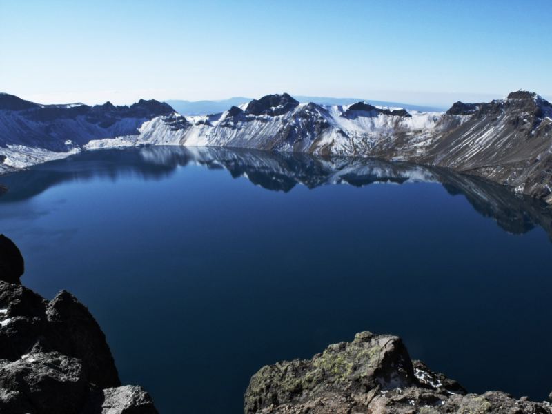
Changbai means ‘forever white’ as the mountains have permanent snow cover. The border with North Korea runs directly through the middle of volcanic Lake Tian.
11. What is the range of mountains called that separates the Yellow and Yangzi river basins?
Nanling
Hengduan
Qingling
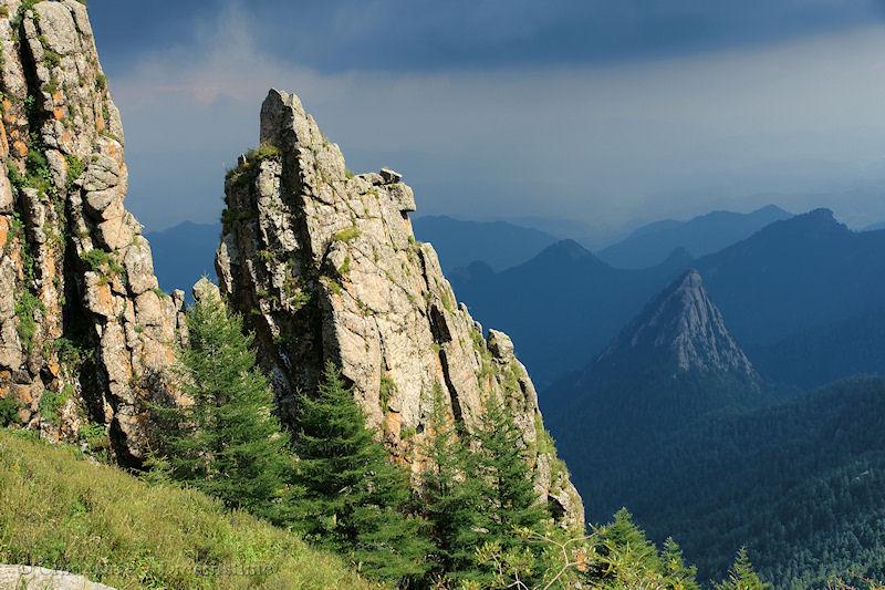
The Qingling mountains form an important historic and climatic boundary between northern and southern China.
Luya Mountain in Shanxi
12. Which of these countries does NOT have a land border with China?
Nepal
Thailand
Afghanistan
Laos has a very short land border with the Peoples Republic, Northern Thailand comes within 100 miles [161 kms] of the Chinese border in Yunnan.
The Star Ferry is a passenger ferry in Hong Kong that is mainly now a tourist attraction. It was established in 1888 when there were no bridges to the island of Hong Kong.
14. Wanfujing is a famous shopping street in which city?
Beijing
Macau
Shanghai
Wangfujing is one of the most famous shopping streets of Beijing; it is located in Dongcheng District.
15. By what name do the people call their own country of China?
Cathay
Sinica
Zhongguo
The Chinese people themselves have several names for their own country. 中国 zhōng guó is the official name. It means literally 'middle or central' 'country; kingdom or region' and was based on the traditional view that China is the center of the civilized world.
16. The city of Guangzhou stands on which major river?
Li river
Han river
Pearl river
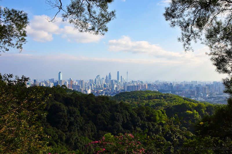
Guangzhou, on the Pearl (Yu) river estuary, has been a major port for many centuries. Hong Kong and Macau stand on either side of the large outflow into the South China Sea.
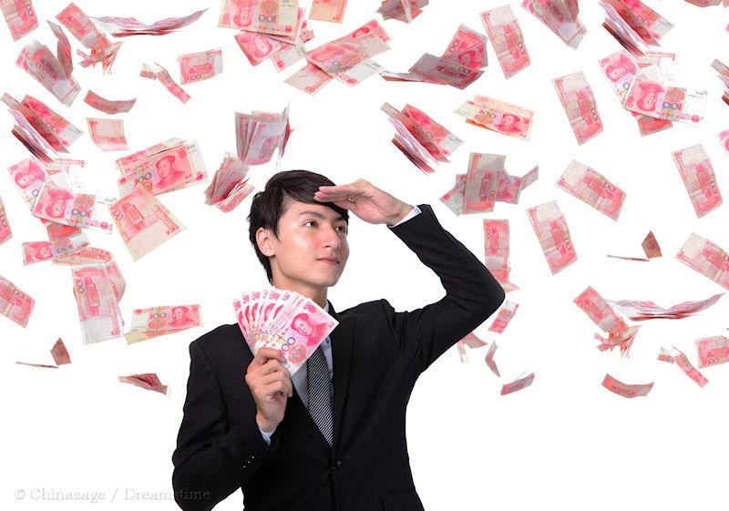
The distinction between the name of the currency ( 人民币 rén mín bì) and the units (元 yuán) is like the difference between the British term sterling for the currency and pound as the unit.
18. Which of these provinces is NOT considered part of the region of Manchuria?
Shanxi
Liaoning
Inner Mongolia
The homeland of the Manchu people is spread along the Liao river, surrounded by mountains on three sides and the North China Sea to the south-west.
19. How long is the reservoir created by the Sanxia Daba (Three Gorges Dam) along the Yangzi River?
400 miles [644 kms]
40 miles [64 kms]
60 miles [97 kms]
The flooding of the Yangzi valley displaced at least one million people. The dam has the largest lock and is the largest hydro-electric system in the world.
 Medium level quiz about the geography of China.